We are ready for you!
Tavares Chamber of Commerce
November 29, 2019 at 4:30 PM ·
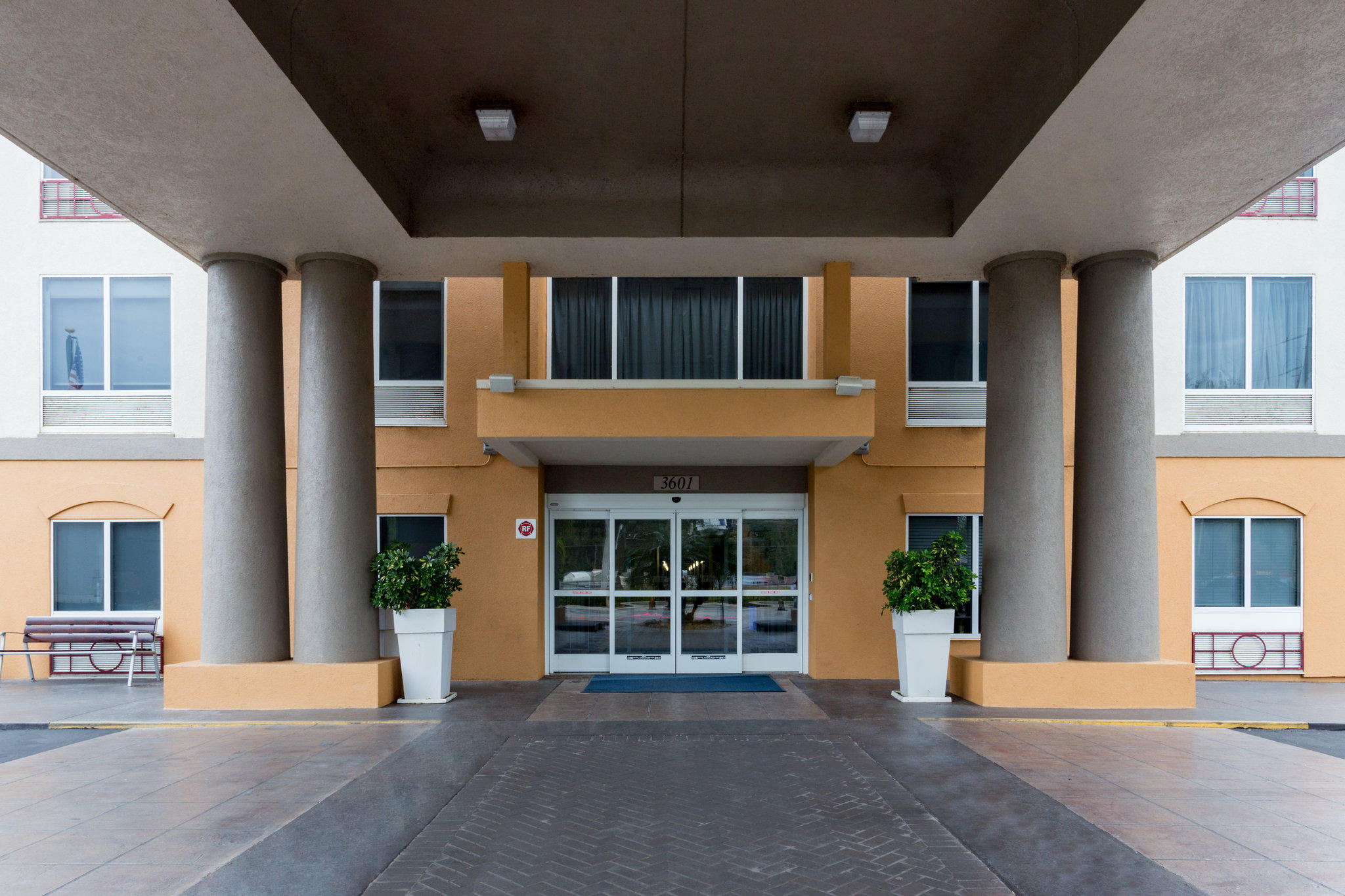
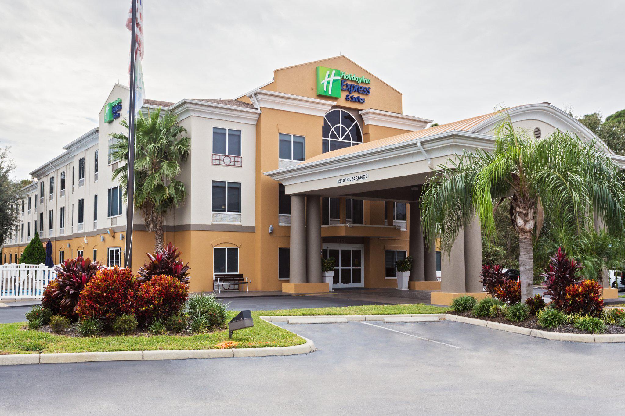
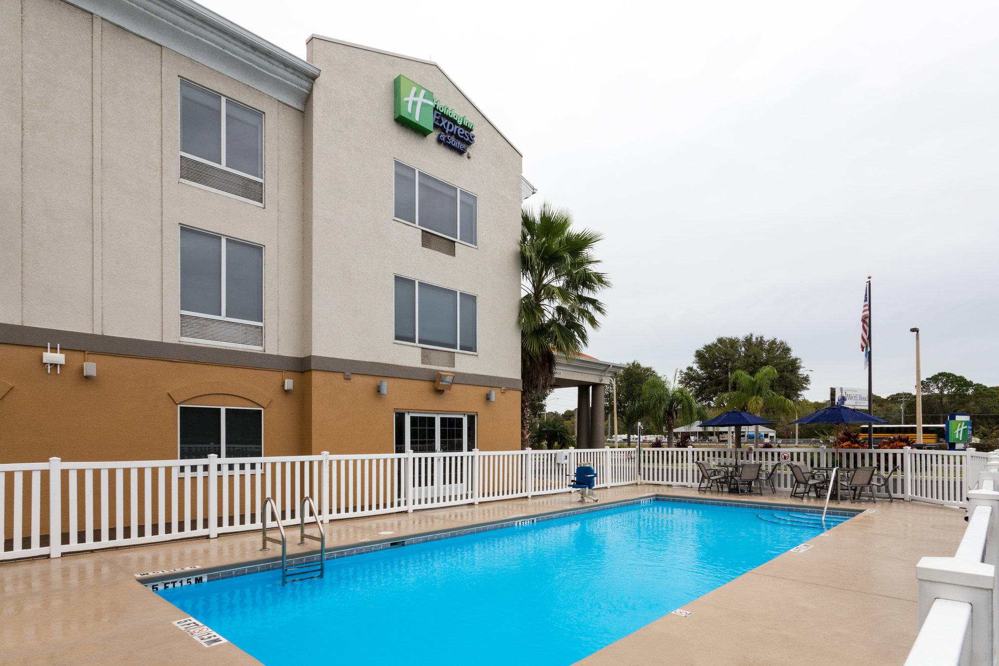
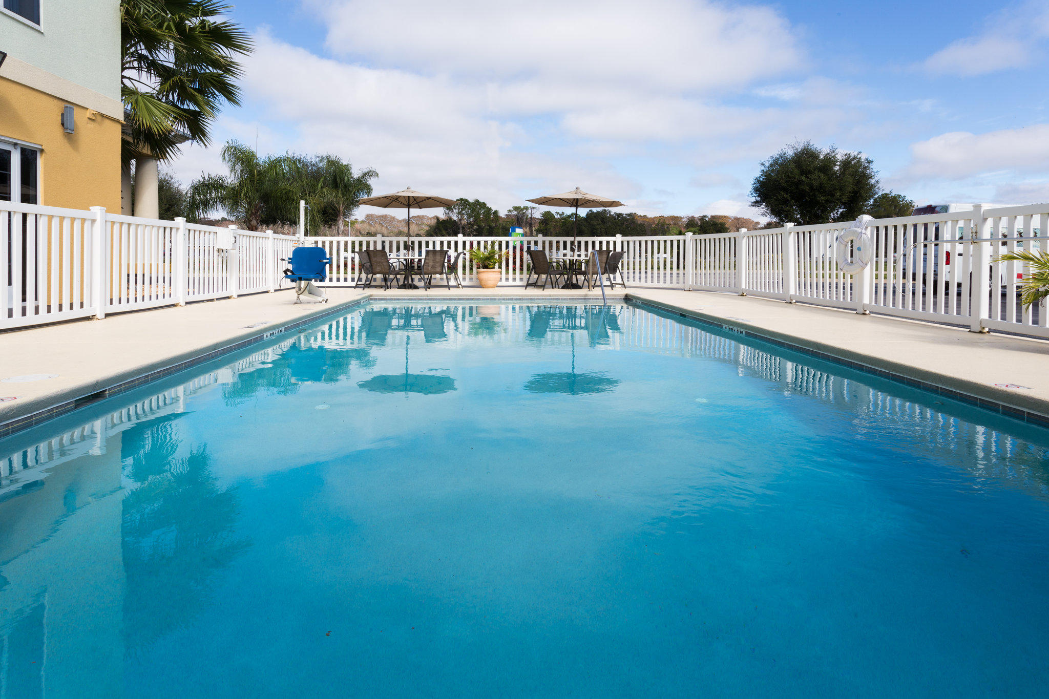
We're shining the Member Spotlight on Holiday Inn Express & Suites Tavares - Leesburg!
Located on the Harris Chain of Lakes, near Leesburg and Mount Dora. They offer free breakfast, Wi-Fi access, a meeting space, business center, fitness room, and swimming pool, with the Lake County Bike Trail on site.
#TavaresChamber #TCoCMemberSpotlight
Denis Phillips
September 2, 2019 at 4:47 PM ·
5pm Hurricane Dorian Update: No real changes to the forecast track. Dorian is currently stationary. A gradual NW and then NNW and finally N motion will begin tomorrow. This will keep the worst of the storm offshore. There will still be severe issues with coastal flooding and surge and beach erosion.
Denis Phillips
September 2, 2019 at 3:37 AM ·
Overnight Dorian Update:
1. Dorian has winds of 180 mph and a pressure of 914 mbs. The strongest storm ever to move through the NW Bahamas. Making it worse, steering currents are collapsing and the storm will slow down. The Abaco Island and Grand Bahama will see these conditions for up to 48 hours. Simply devastating.
2. As for Florida, the forecast really hasn't changed. IF the track verifies as models agree now, Dorian will stay between 60 and 90 miles offshore. But yes, it is certainly possible it can get close. Overwhelming majority keep the extreme winds OFFSHORE of Florida. Hurricane force winds now extend 45 miles from the center and Tropical Storm force winds extend 145. Dorian is getting stronger AND larger.
3. Hurricane watches and tropical storm warnings are now in effect for parts of the Atlantic coast. There are NO warnings for the Bay Area, and unless there is a rather large change to the track, there won't be. There IS, however, a Tropical Storm Watch for Highlands and Polk counties. This means tropical storm winds are possible within 48 hours.
4. The East coast will see flooding, beach erosion, surge, and more than likely, winds gusting up to hurricane force for at least 24 hours, however, the most damaging winds will stay offshore if the forecast track verifies. And at this point, we are getting more confident in this forecast.
5. Exactly how? Step 1. Steering currents collapse. Step 2. Dorian slows down or stalls for 48 hours. Step 3 Trough weakens ridge and allows Dorian to turn North and accelerate its forward speed as it heads toward the Carolinas. Right now, that's exactly how I see this playing out.
6. The Bay Area (Especially Highlands and Polk) will see winds gusting to tropical storm force but will stay well below hurricane force if this track verifies. In other words, winds between 30 and 40 mph and a bit higher inland. Can't imagine any evacuation orders in our area other than possibly seeing voluntary in mobile homes in Highlands and Polk if the storms gets a bit closer.
7. Can this change? I think you already know this answer. Yes, it can. And it wouldn't be to the East. This track is about as far East as it will go. The way I see it, we will have a massive hurricane heading in our direction, but that trough will indeed do what troughs do. It will weaken the ridge and pick up Dorian. Truth be told, THAT is more the norm than a hurricane of this size moving into Florida. So, anyone on the East coast should pretty much be done with preps and have decided on what they are going to do in the next 24 hours.
8. There are a ton of "what ifs" out there. It doesn't do anyone any good saying what might or could happen. I'm trying my best to give you the facts of what is happening and what I think WILL happen so you can make decisions for your family. Remember, the worst of a storm, tornadoes, heavier winds are usually in the Northeast part of a hurricane. If this stays offshore of Florida, so will these winds.
9. As for Georgia or the Carolinas, there's a reasonable chance that Dorian skirts up the East coast of Georgia and the Carolinas and could be an issue for the Outer Banks on Friday. Nothing unusual about that pattern. In fact, it's the norm.
10. Finally, when Dorian does NOT turn tomorrow, don't freak out. This will happen early on Tuesday. However, there's a good chance he may stall out entirely for awhile. Models continue to update as we tweak EXACT times and spots of impact. Keep it right here. We're doing out best to keep you informed, (and sane) during the stressful time.
WESH 2 News was live.
September 1, 2019 at 5:29 PM ·
HURRICANE DORIAN: A Hurricane Warning has been issued for Brevard County, while Volusia County remains under a Hurricane Watch.
https://bit.ly/34f5vRQ
Please be advised our storm procedures and policy!


